|
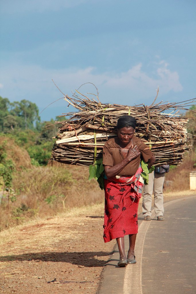 |
| 14-A daily activity | |
| Latitude: N 10°41'0,35" | Longitude: E 37°17'12,21" | Altitude: 1833 metres | Location: Finote Selam | State/Province: Amhara Region | Country: Ethiopia | Copyright: Ron Harkink | See map | |
| Total images: 53 | Help | |
|
|
|
| 14-A daily activity | |
| Latitude: N 10°41'0,35" | Longitude: E 37°17'12,21" | Altitude: 1833 metres | Location: Finote Selam | State/Province: Amhara Region | Country: Ethiopia | Copyright: Ron Harkink | See map | |
| Total images: 53 | Help | |